Drone Technologies
PH&C flies its own drone on job sites. FAA Part 107 pilots Lou Harris and Noah Lynch record conditions for owners and lenders.
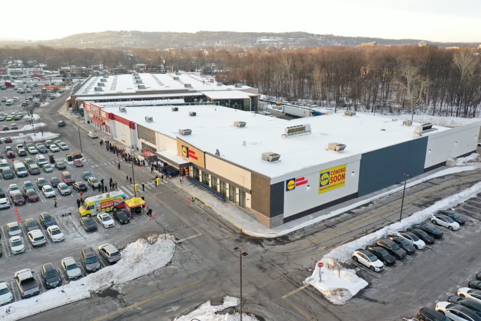
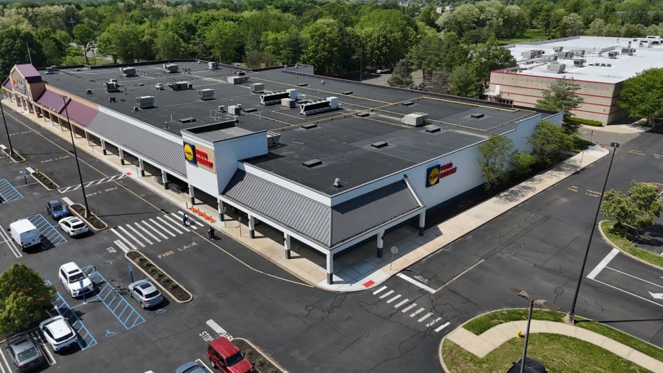
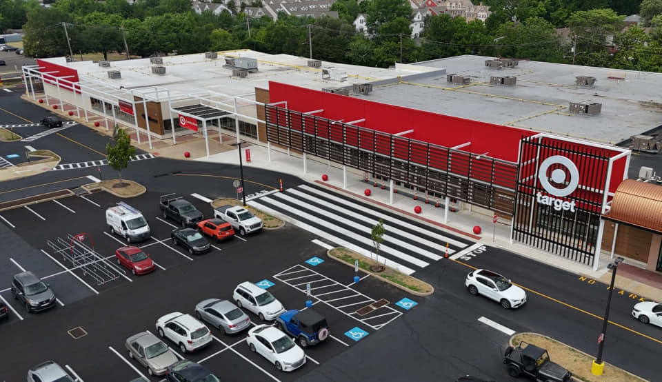
PH&C flies a drone on its own projects for site evaluation, approvals, construction progress, and closeout. Aerial photos show context, scale, and detail a ground walk misses.
Licensed pilots on our own team
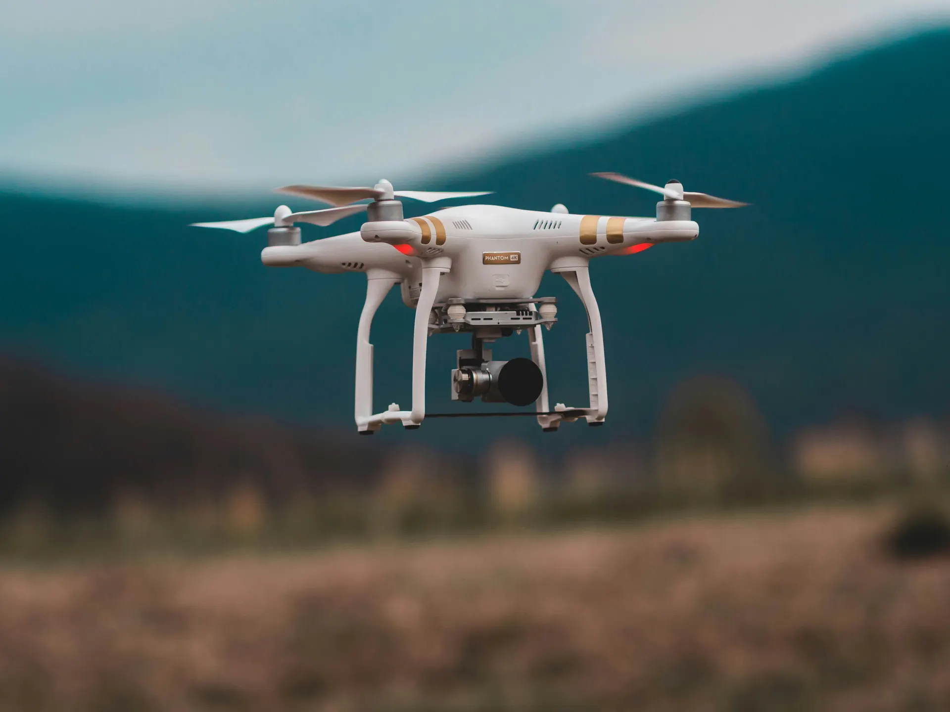
We don’t hire out our drone work. Lou Harris, our Business Development and Marketing Manager, is an FAA Part 107 licensed remote pilot. He flies our DJI drone on PH&C job sites, capturing aerial photos and video at each stage of a project.
A Part 107 license means passing the FAA’s aeronautical knowledge test and keeping current with recurrent training every 24 months. Licensed pilots fly within the FAA’s operating rules, which require airspace authorization near airports, and they know when and where a flight is allowed. Lou also holds OSHA 30-hour certification and is a competent person on active construction sites, so he can work safely around crews and equipment.
Lou isn’t our only pilot. Noah Lynch, our Construction Coordinator, is also Part 107 licensed. He adds 3D imaging that helps us quantify materials on site.
How drones add value to a project
- Before you buy or design. An aerial view shows how a parcel fits its surroundings: access points, neighboring uses, drainage paths, and existing conditions that a ground walk can miss. It’s a fast, low-cost addition to site analysis and feasibility.
- During approvals. Current aerial images give planning commissions, design teams, and agencies the same clear picture of the site, which makes it easier to talk through access, layout, and impacts.
- Throughout construction. Regular flights build a dated visual record of progress. Owners and lenders can see the work without a site visit. That record supports construction coordination and supervision, bank billing inspections, and escrow and letter-of-credit reductions.
- Measuring what’s on site. 3D imaging helps us estimate stockpiles and earthwork quantities, so we can check them against what a contractor bills.
- When questions come up. Before-and-after aerials show what was there, when, and in what condition. That evidence helps settle questions with contractors, neighbors, and agencies quickly.
- At closeout and beyond. Finished-project aerials give you a record of the site as built, and photography ready for leasing, sales, and marketing.
The flights leave a dated record of existing conditions, construction progress, and the finished site.
Projects
6 projects